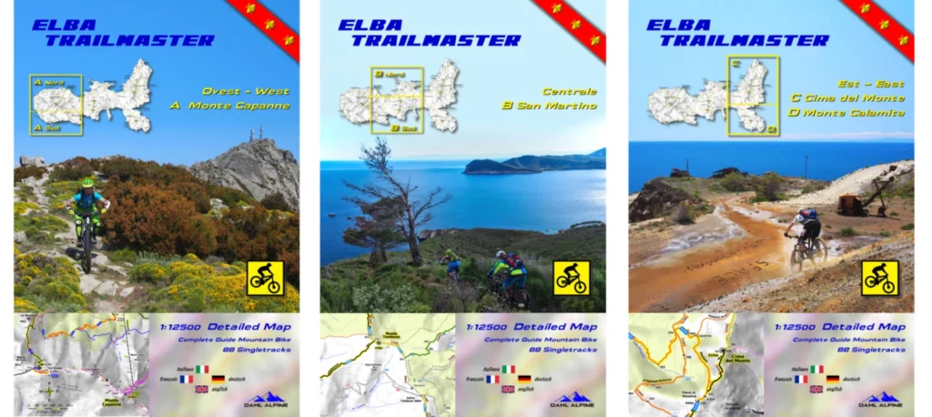
Elba has an incredibly dense network of trails – you need accurate and up-to-date MTB trail maps for orientation. While other products show the whole island on a small map with large scale, outdated routes and without proper MTB classification, a completely new route has been taken here.

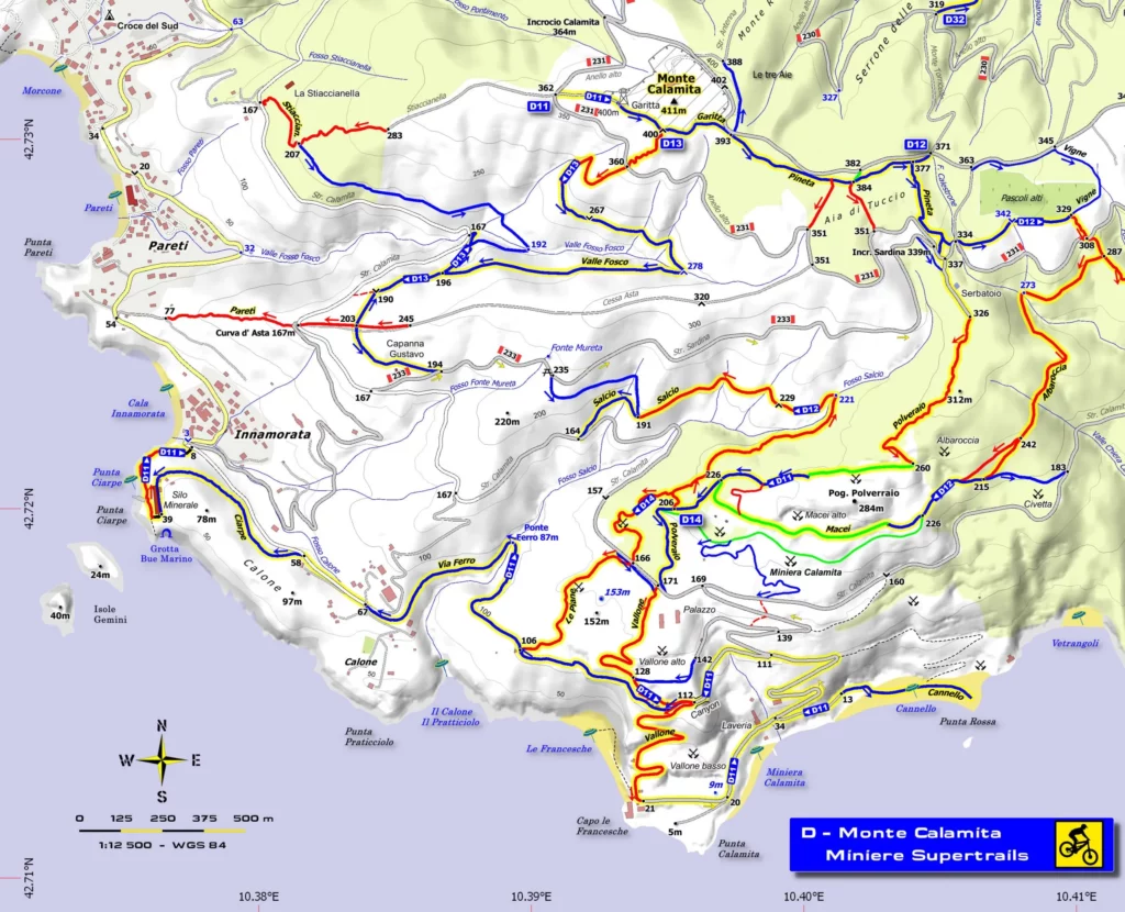
Based on 15 years of Elba riding and “hiking” experience, all currently accessible and navigable paths are now recorded in the Trailmaster and classified in color according to the single trail scale – on a super scale 1: 12500 – and where that’s not enough with additional detailed maps 1: 7500 – 1:5000!
Due to the restrained coloring of the asphalt and gravel roads and the background topography, the Sentieri and coveted single trails with their contrasting colors can be clearly recognized. The well-known alpine color scheme was chosen for the main grades:
S0 flat green S1 easy – blue S2 medium – red S3 difficult black S4-S5 extreme magenta
Arrows on the trails lines show the main direction downhill and elevation points at prominent places make it easier to recognize the development in altitude, but there is additional information on high points, low points and saddle points.
Since 2018, the Sentieri of the Parco Nazionale Arcipelago Toscano / CAI have been redistributed and numbered, they are shown in full on the maps (red-white-red numbers).
The best single trails are combined and numbered to 88 longer Singletracks. The enclosed four-language trackbook describes every single track with course, technical difficulty, panoramic and overall ratings, structured according to the four island sectors and areas.
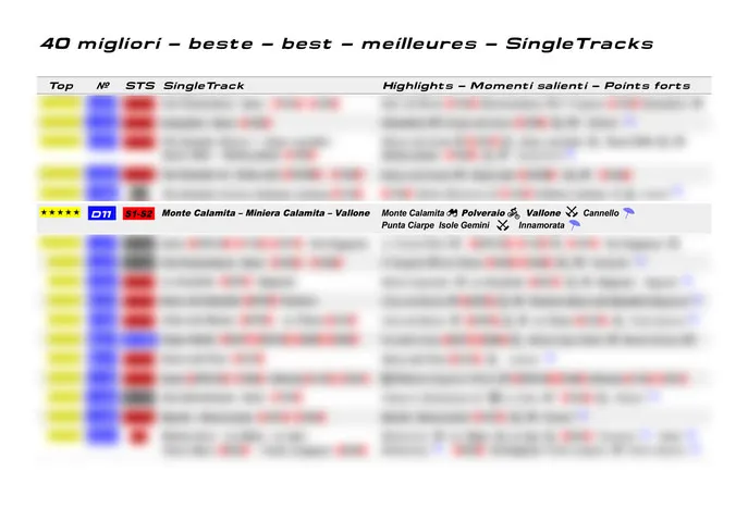
In addition, a sorted list with an overview of the best singletracks is included.
Here you can find all of the island’s top trails such as
- Westcost Freerides – Patresi – Chiessi – Pomonte
- Terra Granito – Vie Granito
- Monte Perone
- TES Toscano Enduro Series
- Marciana alto / Marciana
- San Martino
- Lacona
- Portoferraio
- Burraccio
- Cima del Monte
- Porto Azzurro
- Miniere Rio
- Cavo
- Monte Calamita / Miniera Calamita Marathon Trails
Many of them lead from high peaks down to the Mediterranean Sea with fantastic beaches,
so every biker will find the right single trails on Elba island.
The maps also contain all the important topographical details:
- Extensive geographical names
- Mountain peaks, valleys, saddles, ridges, valleys, rivers, ditches, lakes
- Ancient places, shepherds’ capriles, towers, lighthouses, churches, chapels, monasteries
- Campsites, selection of hotels, albergos, agritourism, wineries
- Restaurants, supermarkets, water sources
- Ore mines, quarries (granite)
- Caves, striking trees
- Coastline with 180 beaches and bays, sea grottos
- Precise LiDAR altitude points
Summits, depressions, saddles, crossroads, trails start-end, path-high points, path-low points - Contour lines 50m / 20m
- Terrain Shaded relief
- Warning signs


BUY ELBA TRAILMASTER
*the map is paper


