Description
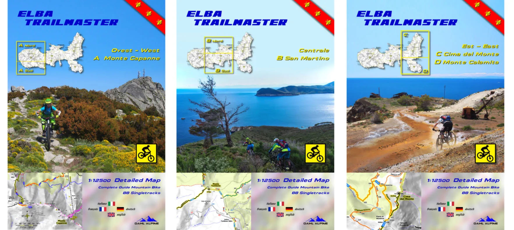
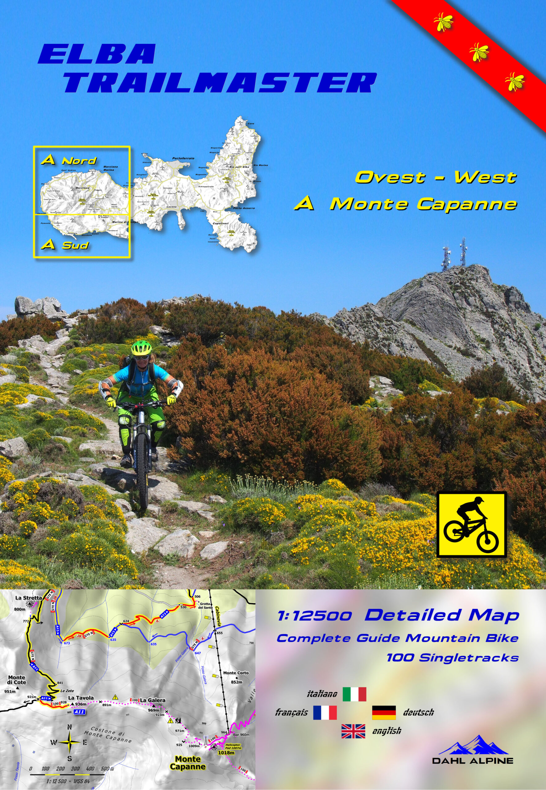
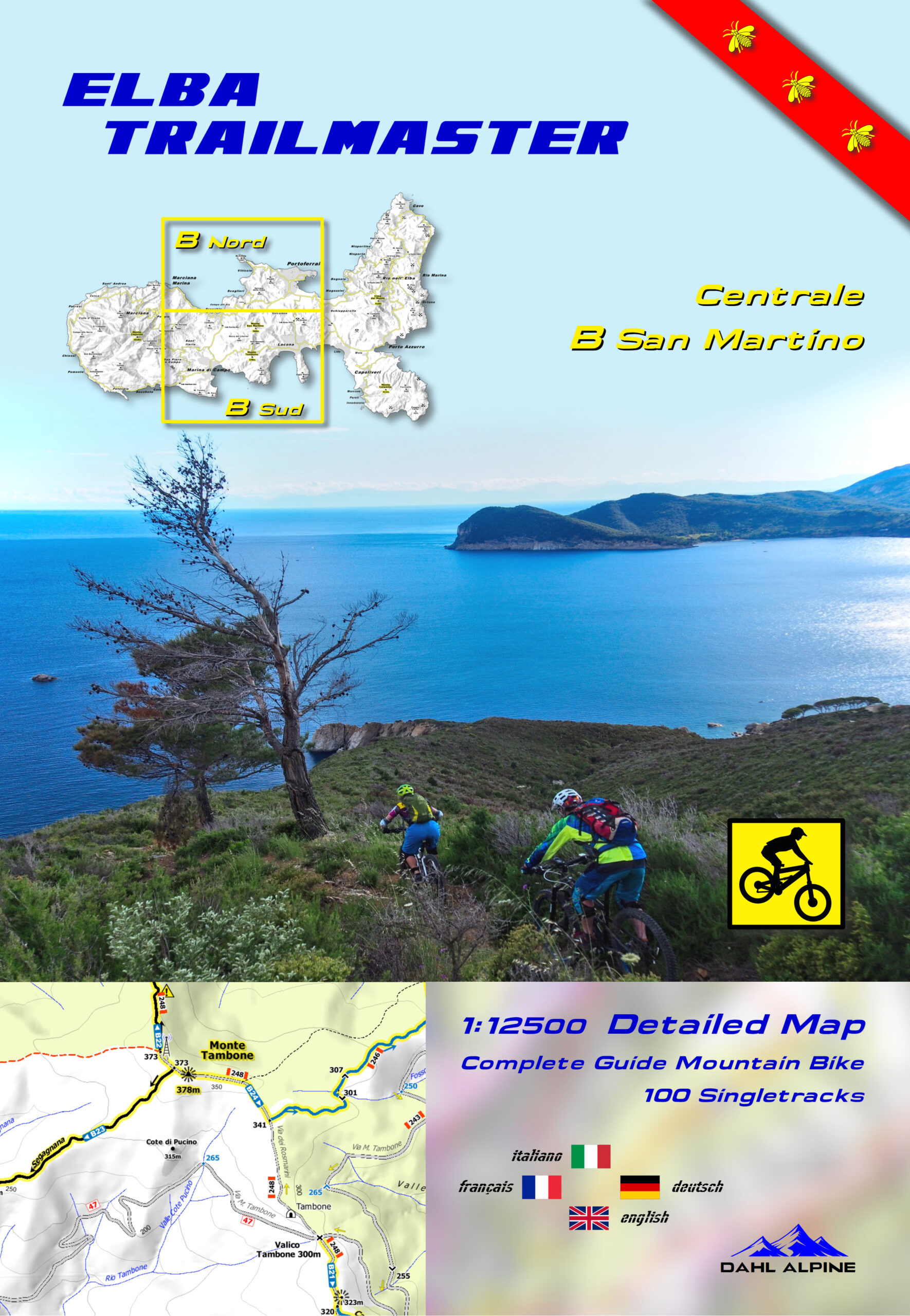
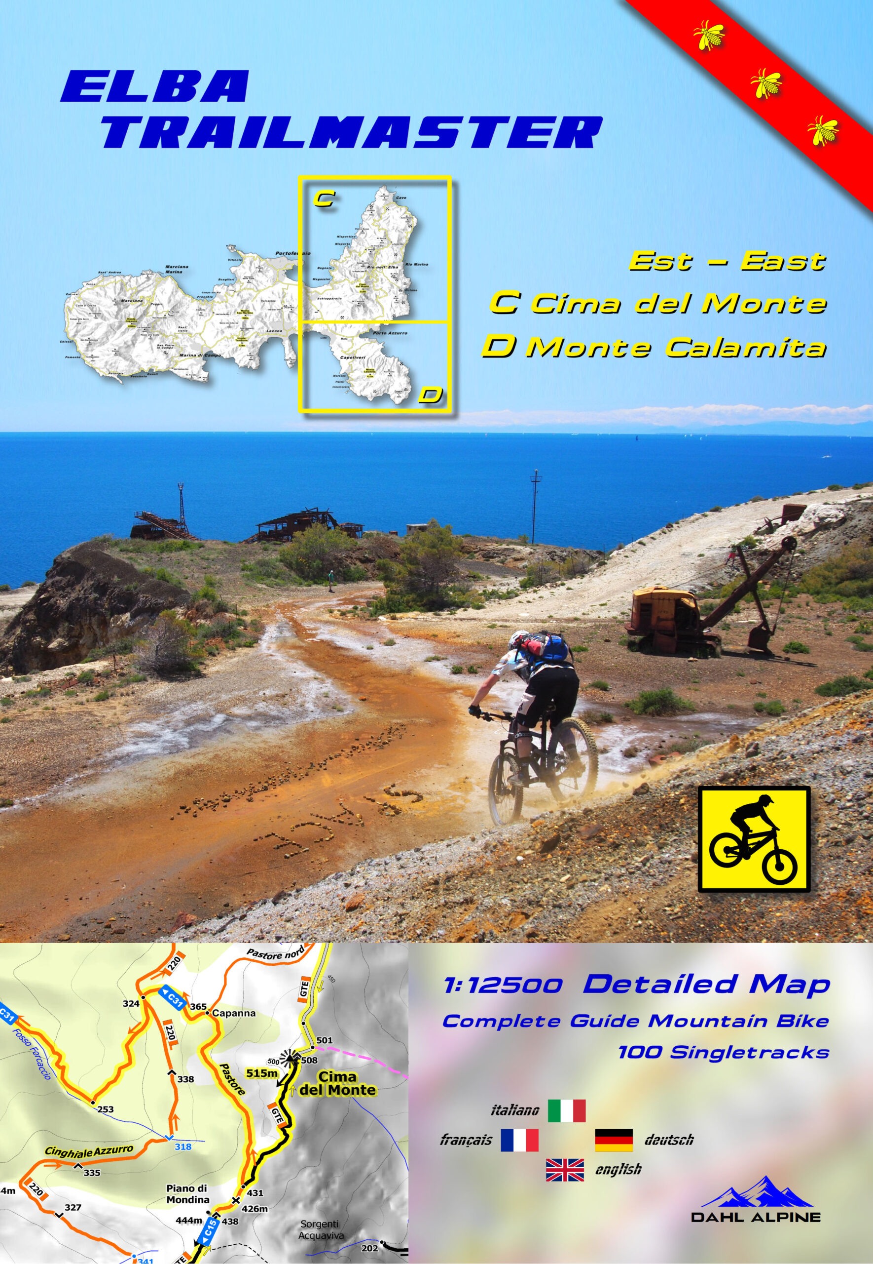
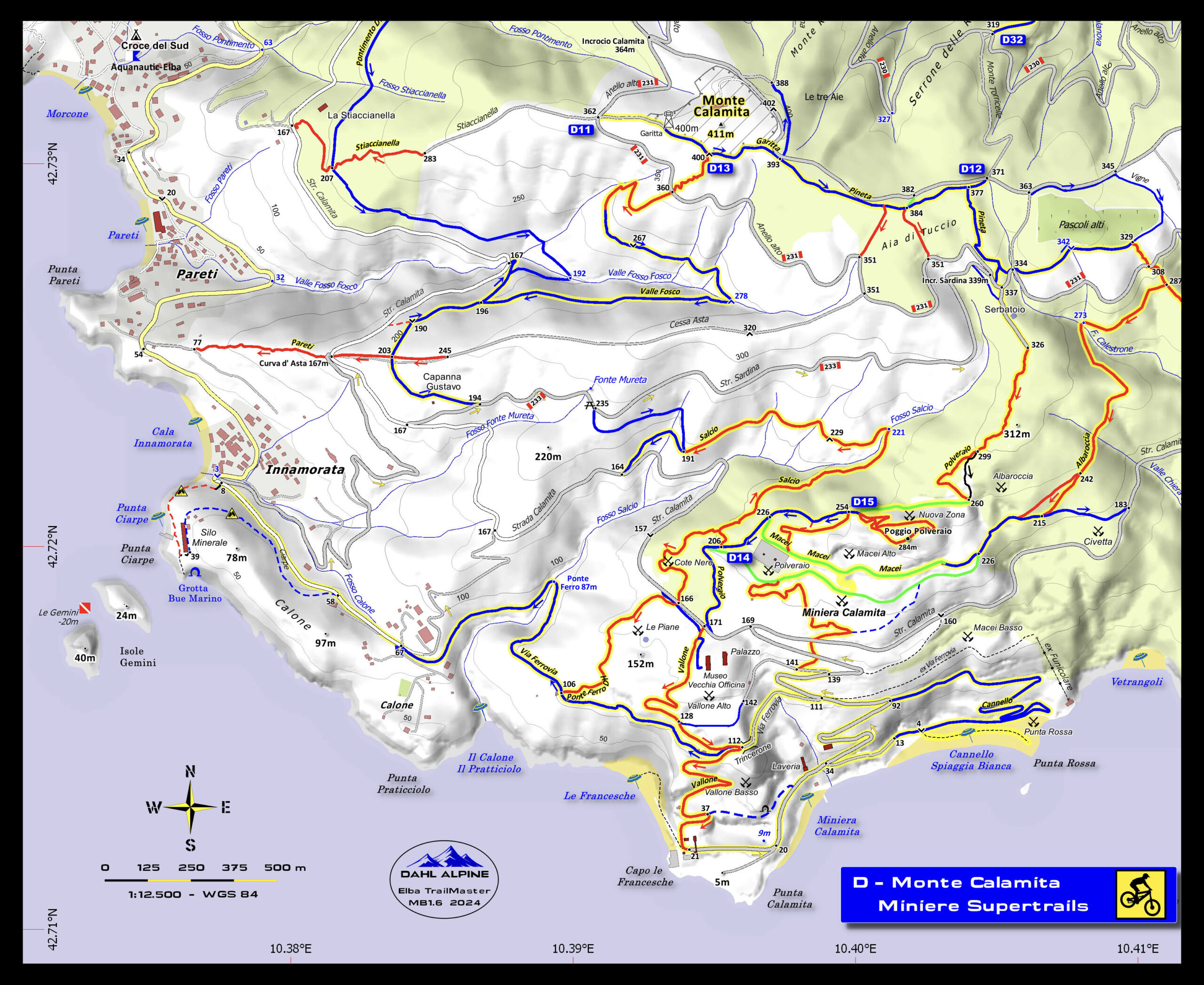
The most accurate maps of the island, perfect for biking, trekking or even just to find the most remote beaches! A super scale 1:12500 with some more detailed windows in 1:7500 – 1:5000! Here in the complete version with the whole Island of Elba (3 maps): Zone A West + Zone B Central + Zone C/D East.
Color content of the asphalt and dirt roads where you can immediately recognize the difficulty of the paths and their width:
S0 green | S1 light blue | S2 red | S3 black | S4-S5 magenta
Don’t know the STS classification? Read here
In the Trails of the Tuscan Archipelago National Park, all the numbers of the CAI trails are also reported: perfect for very technical bikers or those who go trekking.
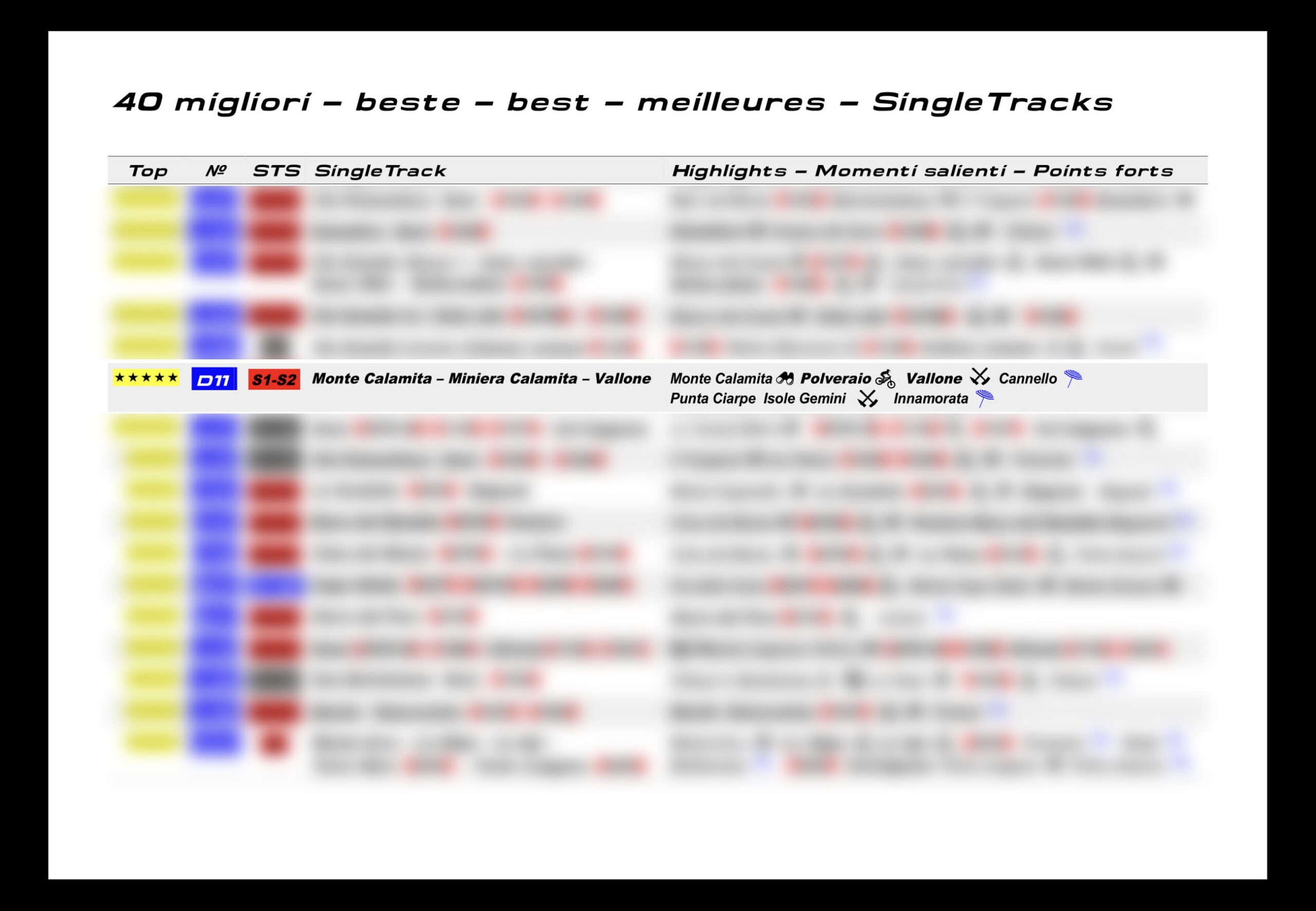
All the best trails of the island are on these maps, divided into 3 sections: A, B and C/D
- Westcost Freerides – Patresi – Chiessi – Pomonte
- Terra Granito-Vie Granito
- Monte Capanne
- Piane Sughera-Fetovaia
- Monte Perone
- TES Toscano Enduro
- Marciana alto – Marciana
- San Martino
- Lacona
- Capo d’Enfola
- Portoferraio
- Burraccio
- Cima del Monte-Cresta Nord
- Porto Azzurro
- Bagnaia – Nisporto – Nisportino
- Elba Trail Area
- Cavo
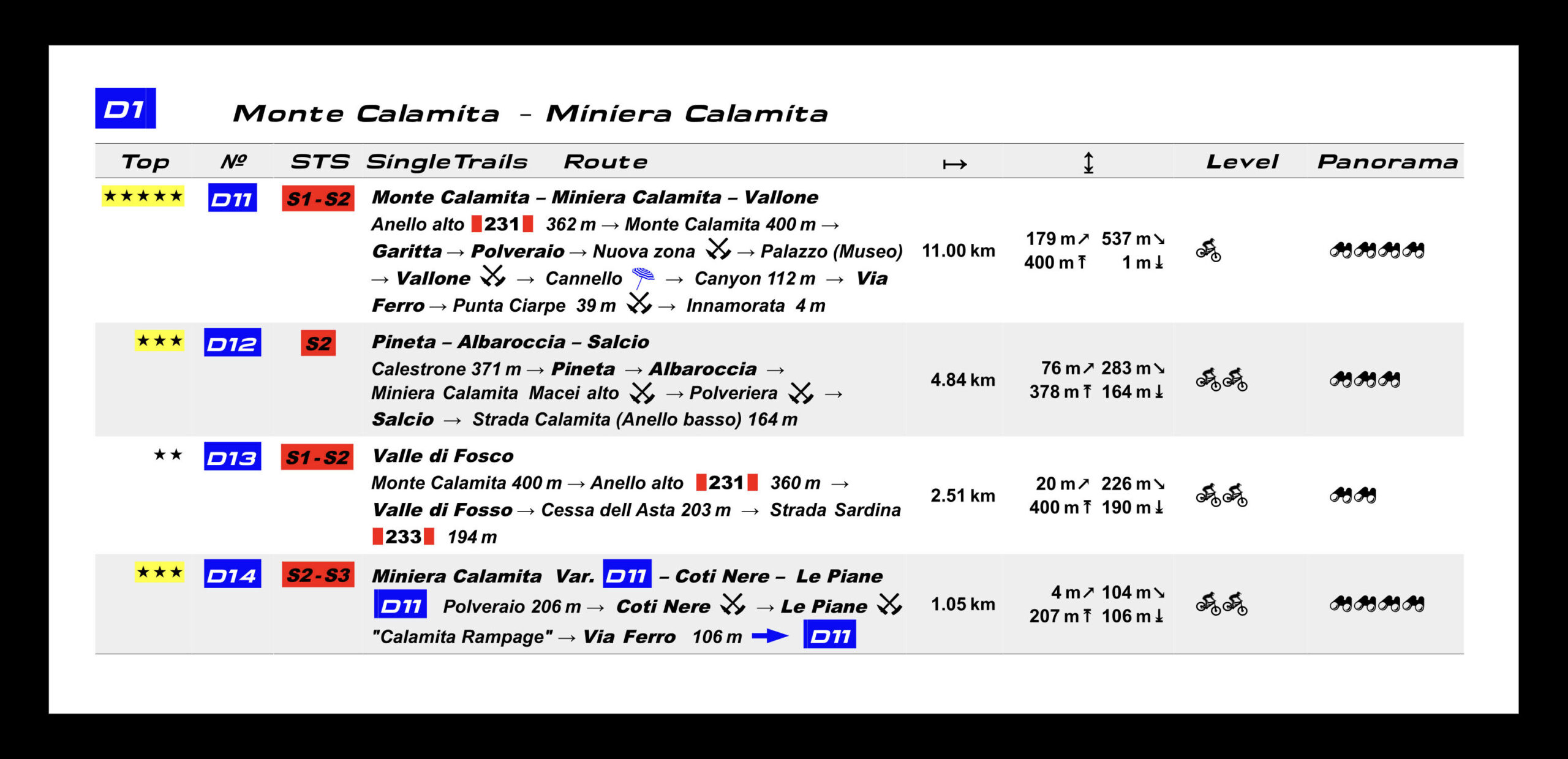
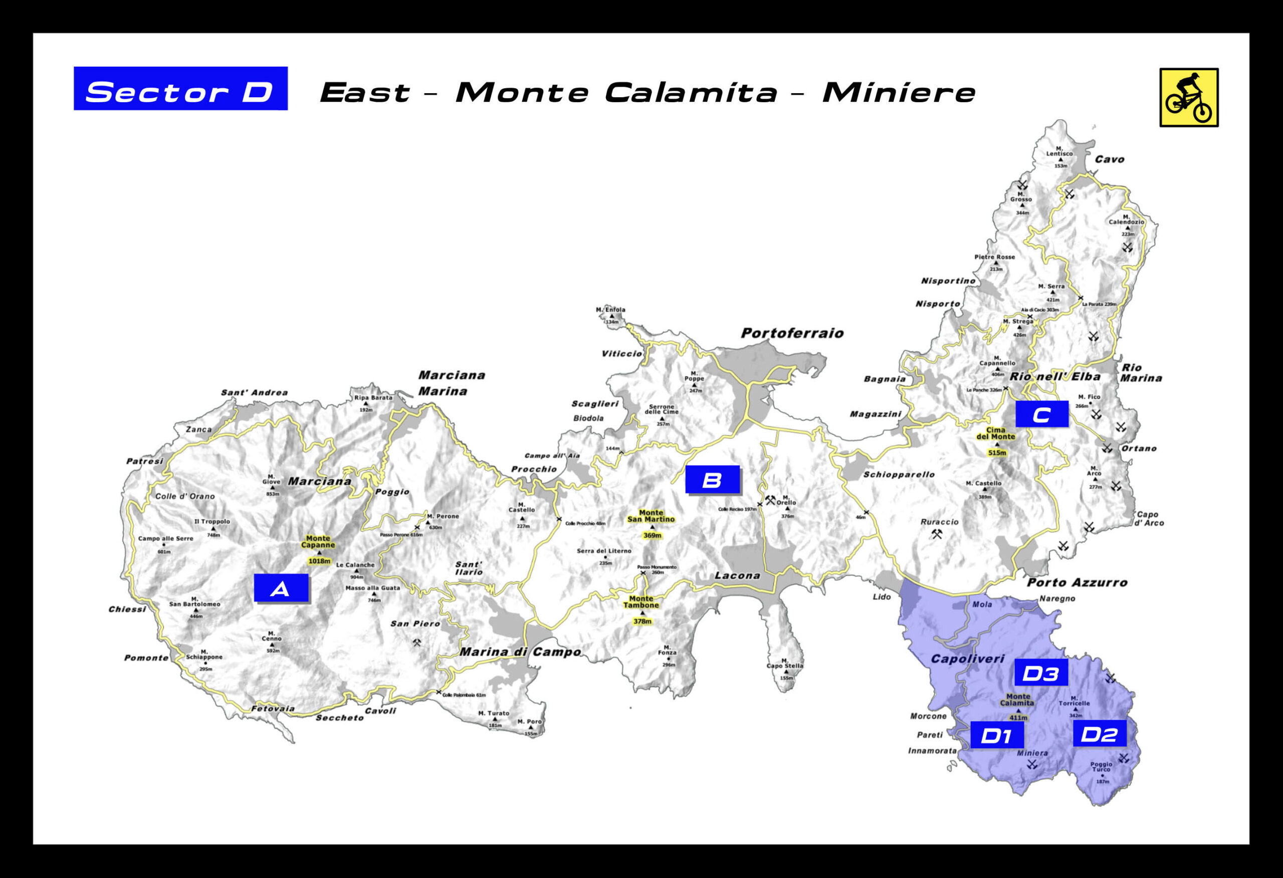
- Monte Calamita-Miniera Calamita
- Many of them lead from the high peaks to the sea with wonderful beaches.
The map contains other important topographic details:
- Geographical extended names
- Peaks, valleys, saddles, ridge, valleys, rivers, ditches, lakes
- Archaeological sites, shepherds’ huts, towers, lighthouses, churches, chapels, monasteries
- Campsites, selection of hotels, inns, agritourism, wineries
- Restaurants, supermarkets, water fountains
- Mineral extraction, cave (granite)
- Cave, suggestive trees
- Coast with 180 beaches and coves, sea cave
- Precise LiDAR high points
- Summit, depression, saddle, fork, start/end trail, trail high points – low points
- Delivery line 50 m / 20 m
- Shading of the relief
- Danger signals




Reviews
There are no reviews yet