Description
Possibility to take the FULL KIT for the entire Island of Elba!
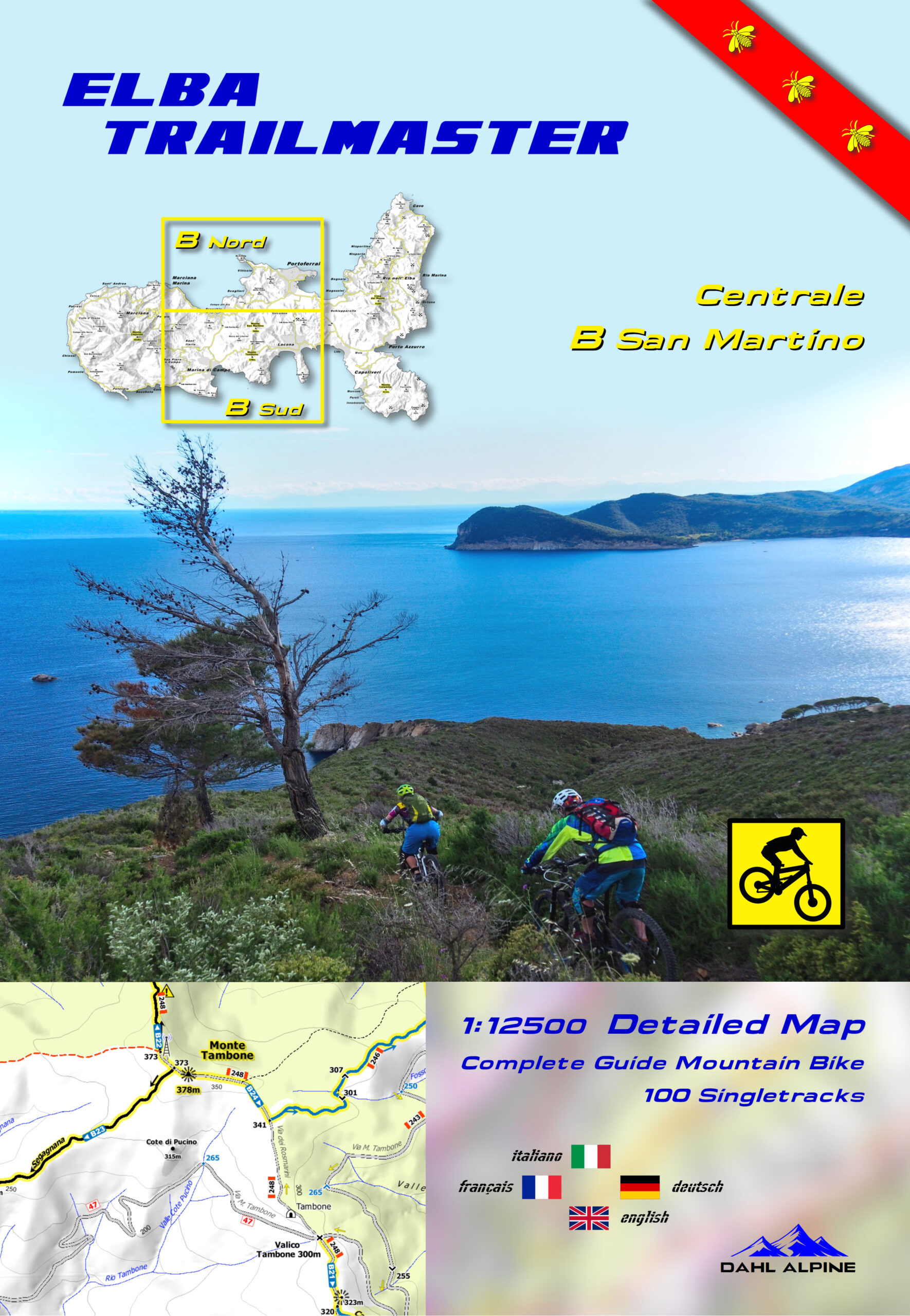
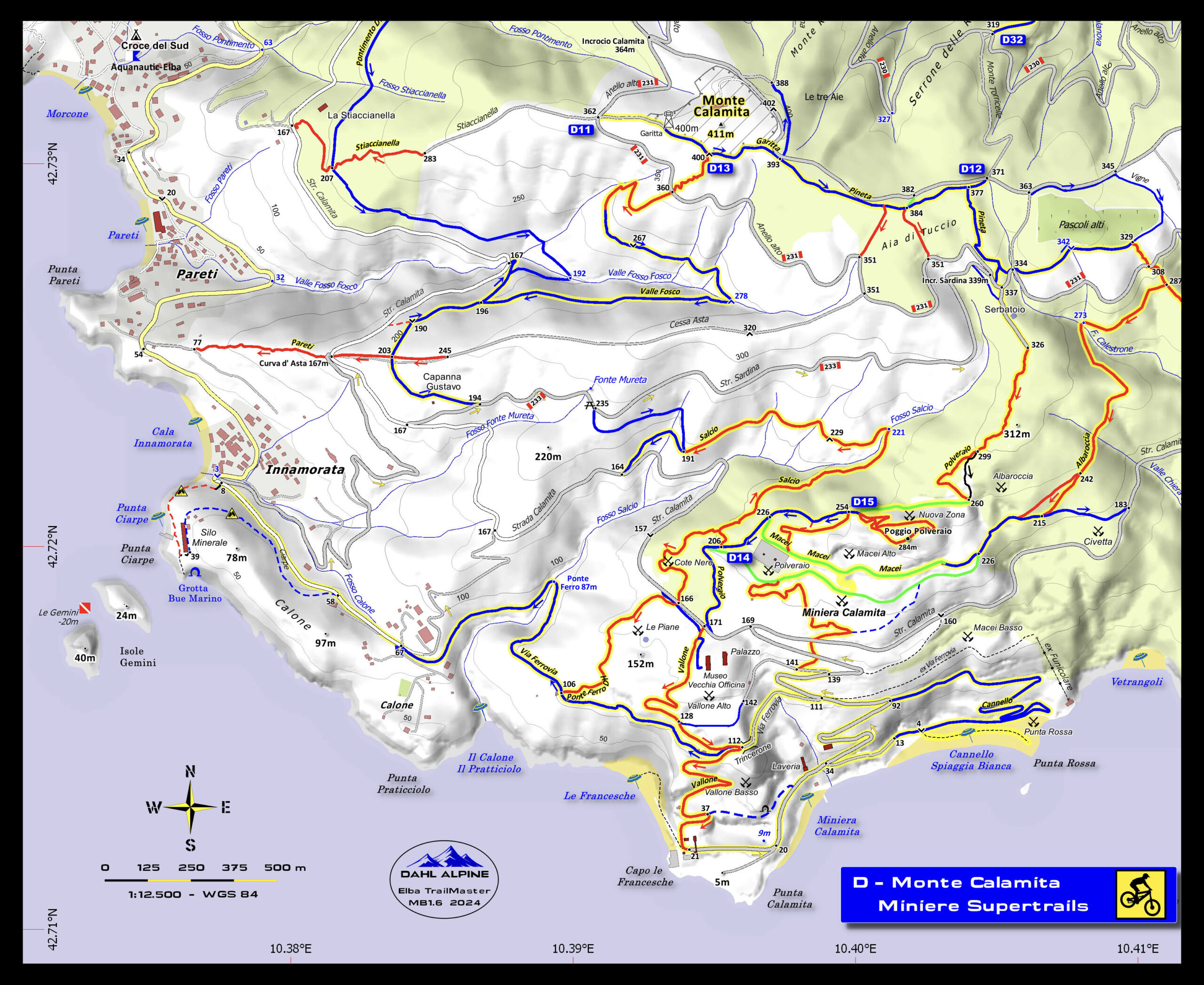
The most accurate maps of the island, perfect for biking, trekking or even just to find the most remote beaches! A super scale 1:12500 with some more detailed windows in 1: 7500 – 1:5000!
Color content of the asphalt and dirt roads where you can immediately recognize the difficulty of the paths and their width:
S0 green | S1 light blue | S2 red | S3 black | S4-S5 magenta
Don’t know the STS classification? Read here
In the Trails of the Tuscan Archipelago National Park, all the numbers of the CAI trails are also reported: perfect for very technical bikers or those who go trekking.
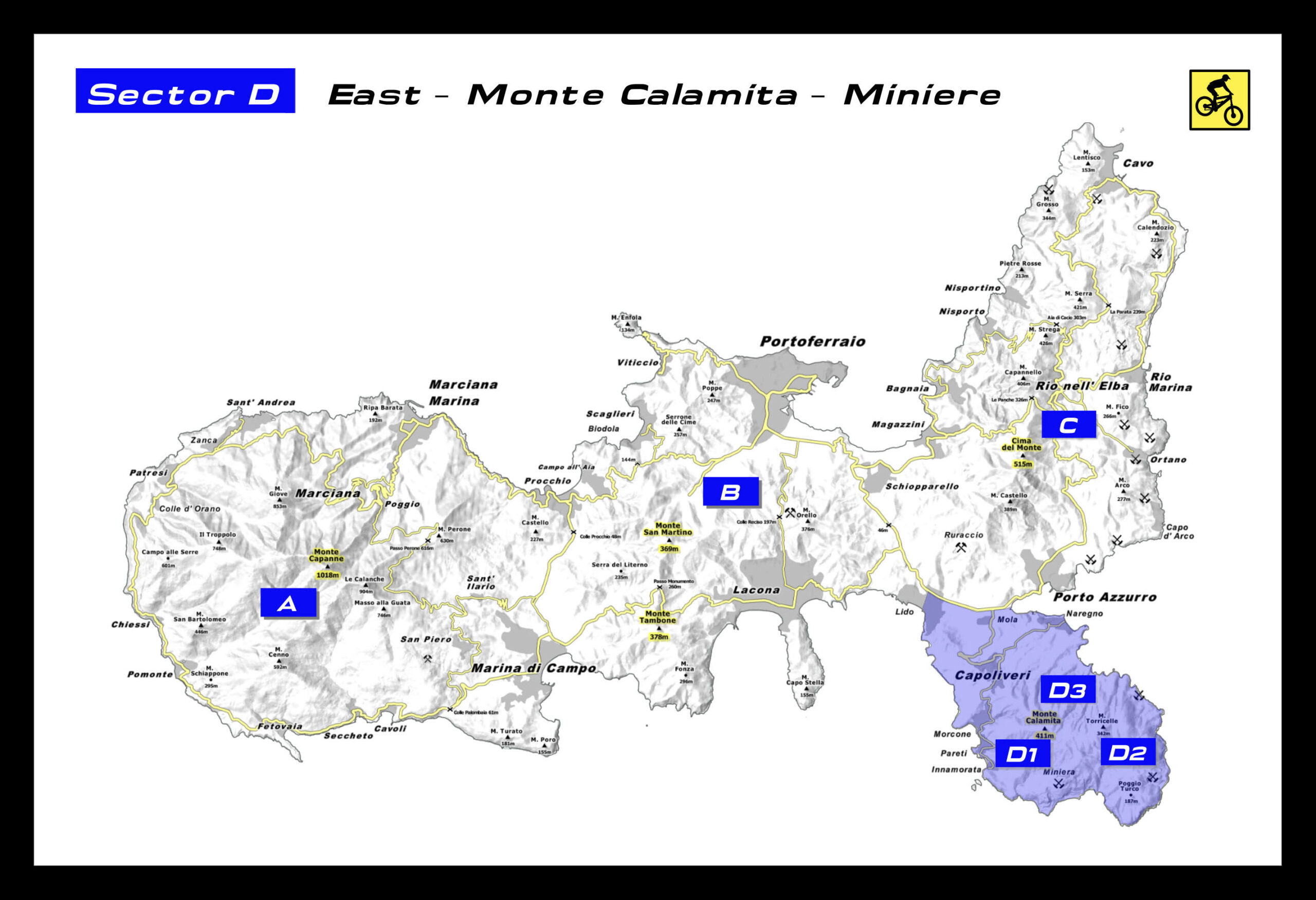
All the best trails of the island are on these maps, divided into 3 sections: A, B and C/D
- Westcost Freerides – Patresi – Chiessi – Pomonte
- Terra Granito-Vie Granito
- Monte Capanne
- Piane Sughera-Fetovaia
- Monte Perone
- TES Toscano Enduro
- Marciana alto – Marciana
- San Martino
- Lacona
- Capo d’Enfola
- Portoferraio
- Burraccio
- Cima del Monte-Cresta Nord
- Porto Azzurro
- Bagnaia – Nisporto – Nisportino
- Elba Trail Area
- Cavo
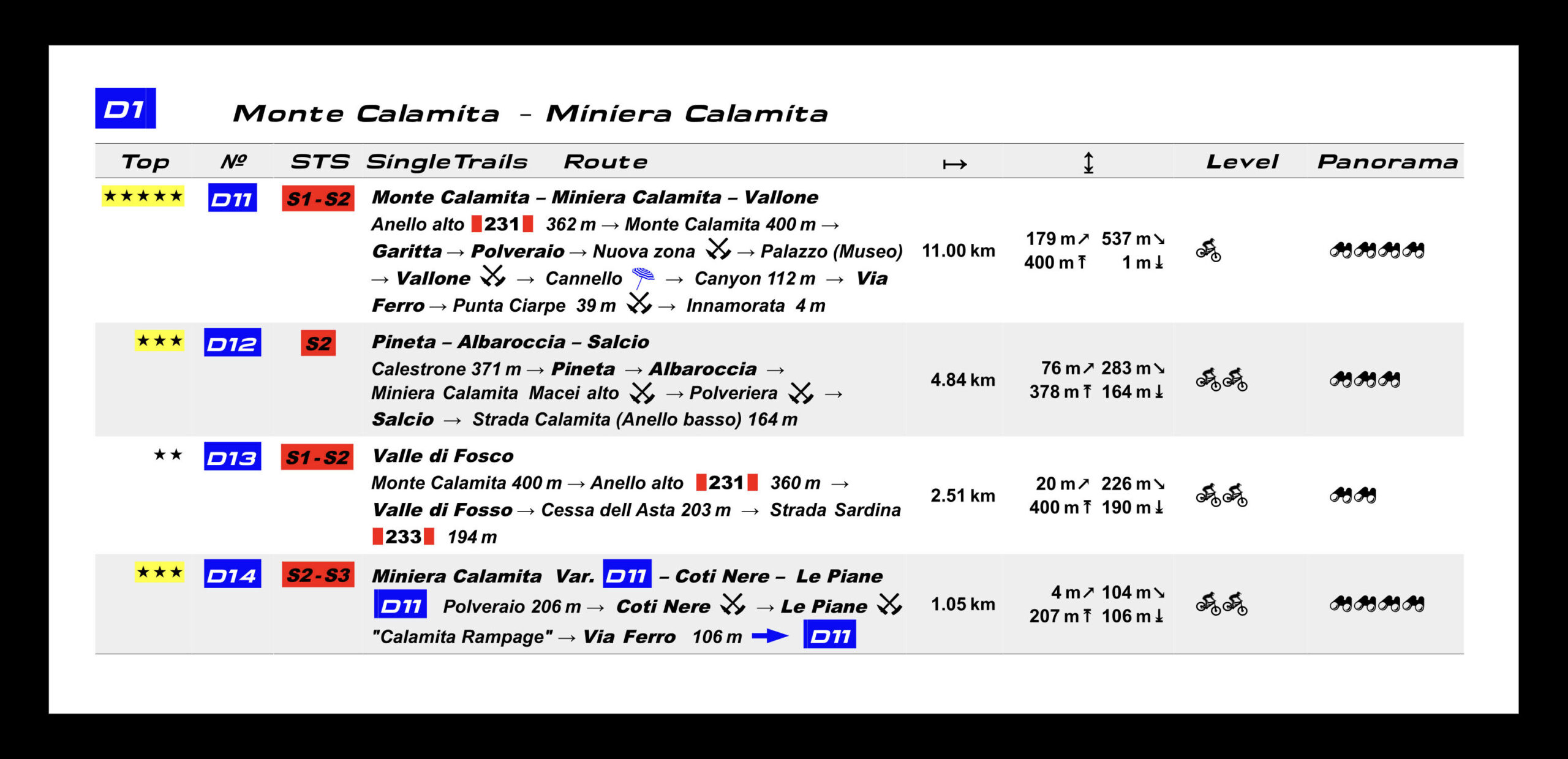
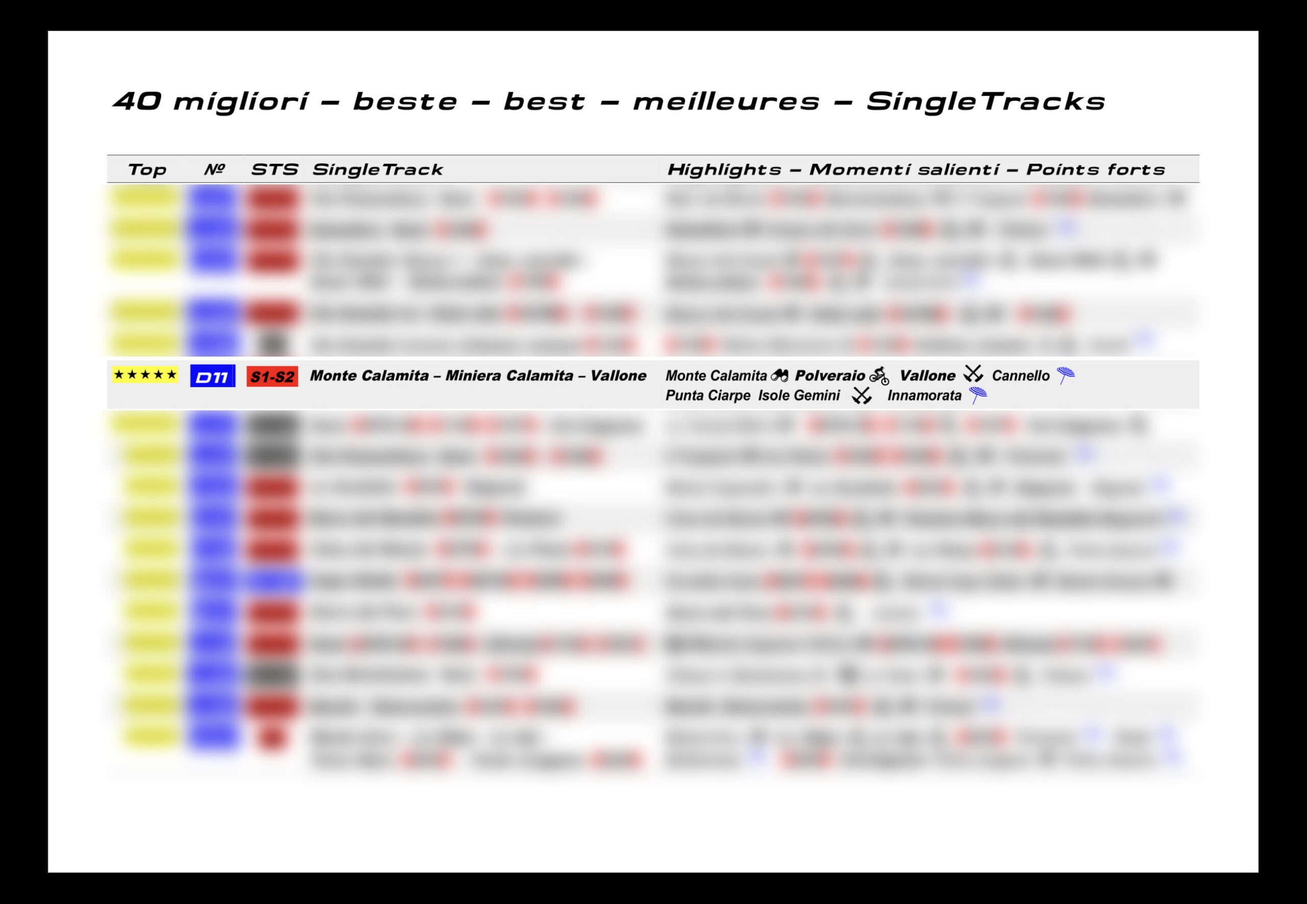
- Monte Calamita-Miniera Calamita
- Many of them lead from the high peaks to the sea with wonderful beaches.
The map contains other important topographic details:
- Geographical extended names
- Peaks, valleys, saddles, ridge, valleys, rivers, ditches, lakes
- Archaeological sites, shepherds’ huts, towers, lighthouses, churches, chapels, monasteries
- Campsites, selection of hotels, inns, agritourism, wineries
- Restaurants, supermarkets, water fountains
- Mineral extraction, cave (granite)
- Cave, suggestive trees
- Coast with 180 beaches and coves, sea cave
- Precise LiDAR high points
- Summit, depression, saddle, fork, start/end trail, trail high points – low points
- Delivery line 50 m / 20 m
- Shading of the relief
- Danger signals




Reviews
There are no reviews yet